Former A1
Introduction
The photograph on this page of Former A1 by Andrew Tatlow as part of the Geograph project.
The Geograph project started in 2005 with the aim of publishing, organising and preserving representative images for every square kilometre of Great Britain, Ireland and the Isle of Man.

There are currently over 7.5m images from over 14,400 individuals and you can help contribute to the project by visiting https://www.geograph.org.uk
Former A1
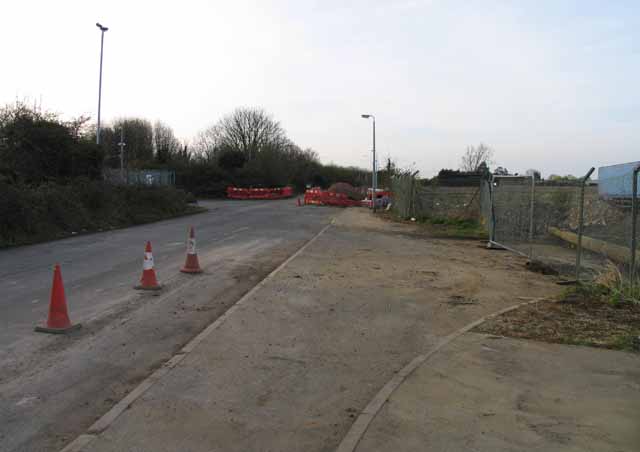
Image: © Andrew Tatlow Taken: 10 Apr 2010
This stretch of the former A1 was previously narrowed by concrete cylinders and earthworks; all had been removed and part of the land occupied by the Sainsbury's service station.
Images are licensed for reuse under creativecommons.org/licenses/by-sa/2.0
Image Location
Latitude
52.094651
Longitude
-0.273515