Footpath from Dark Lane to Burwardsley Road
Introduction
The photograph on this page of Footpath from Dark Lane to Burwardsley Road by John S Turner as part of the Geograph project.
The Geograph project started in 2005 with the aim of publishing, organising and preserving representative images for every square kilometre of Great Britain, Ireland and the Isle of Man.

There are currently over 7.5m images from over 14,400 individuals and you can help contribute to the project by visiting https://www.geograph.org.uk
Footpath from Dark Lane to Burwardsley Road
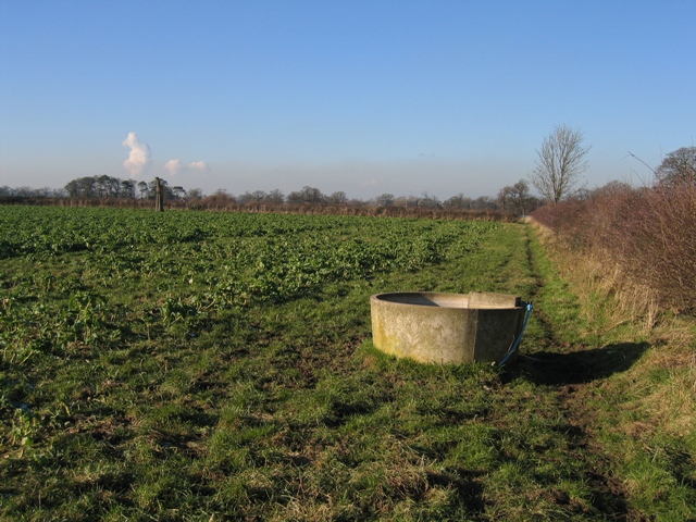
Image: © John S Turner Taken: 7 Feb 2007
The footpath through this field (Kale?) keeps to the hedge line past the water trough. A close up of the water trough can be seen at Image The plume from the Queensferry power stations is clearly visible in the distance.
Images are licensed for reuse under creativecommons.org/licenses/by-sa/2.0
Image Location


Leaflet Map data © OpenStreetMap
Latitude
53.112283
Longitude
-2.755589