Martin's Lane
Introduction
The photograph on this page of Martin's Lane by Jonathan Billinger as part of the Geograph project.
The Geograph project started in 2005 with the aim of publishing, organising and preserving representative images for every square kilometre of Great Britain, Ireland and the Isle of Man.

There are currently over 7.5m images from over 14,400 individuals and you can help contribute to the project by visiting https://www.geograph.org.uk
Martin's Lane
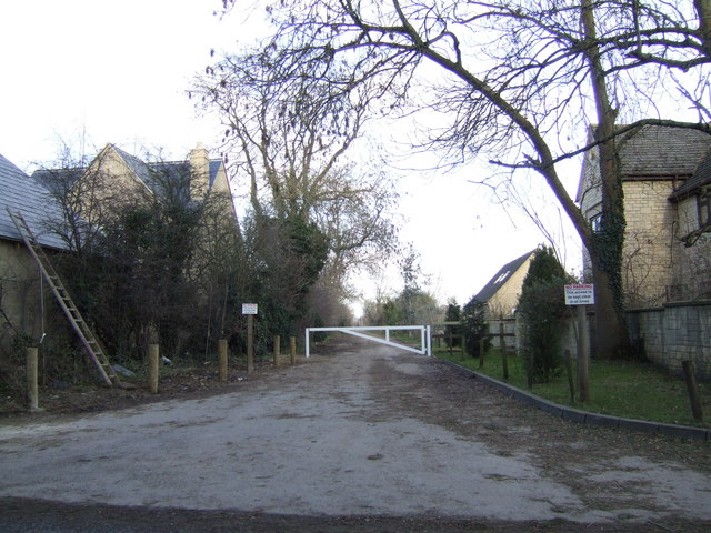
Image: © Jonathan Billinger Taken: 23 Jan 2007
This dead-straight lane is a bridleway linking the upper and lower parts of Standlake.
Images are licensed for reuse under creativecommons.org/licenses/by-sa/2.0
Image Location
Latitude
51.727075
Longitude
-1.438196