Junction in Avonwick
Introduction
The photograph on this page of Junction in Avonwick by Derek Harper as part of the Geograph project.
The Geograph project started in 2005 with the aim of publishing, organising and preserving representative images for every square kilometre of Great Britain, Ireland and the Isle of Man.

There are currently over 7.5m images from over 14,400 individuals and you can help contribute to the project by visiting https://www.geograph.org.uk
Junction in Avonwick
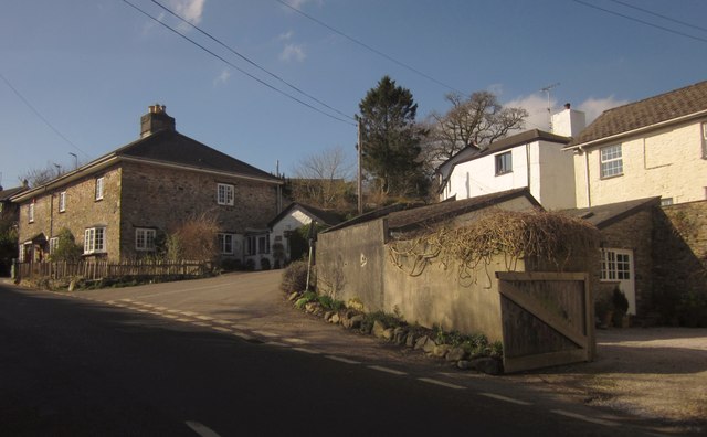
Image: © Derek Harper Taken: 18 Feb 2013
The lane to Cutwellwalls Farm climbs away from the road to Kitterford Cross, in the centre of the village. On the left is Bank House http://list.english-heritage.org.uk/resultsingle.aspx?uid=1108203&searchtype=mapsearch , a pair of attached cottages the left one of which is a shop and the former post office.
Images are licensed for reuse under creativecommons.org/licenses/by-sa/2.0
Image Location
Latitude
50.40969
Longitude
-3.814148