Fields at Rhodes House Farm
Introduction
The photograph on this page of Fields at Rhodes House Farm by Nigel Mykura as part of the Geograph project.
The Geograph project started in 2005 with the aim of publishing, organising and preserving representative images for every square kilometre of Great Britain, Ireland and the Isle of Man.

There are currently over 7.5m images from over 14,400 individuals and you can help contribute to the project by visiting https://www.geograph.org.uk
Fields at Rhodes House Farm
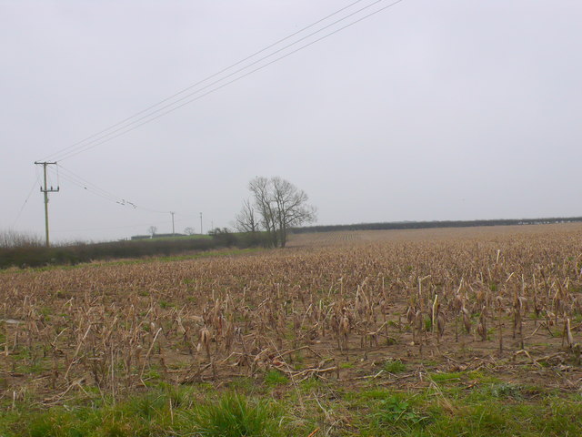
Image: © Nigel Mykura Taken: 20 Feb 2013
This field close to the junction of Landshire Lane with the minor road from Bow Bridge was still covered with the stubble remains of the previous years crop of maize.
Images are licensed for reuse under creativecommons.org/licenses/by-sa/2.0
Image Location


Leaflet Map data © OpenStreetMap
Latitude
50.97489
Longitude
-2.362151