Trackbed of the Somerset and Dorset Railway
Introduction
The photograph on this page of Trackbed of the Somerset and Dorset Railway by Nigel Mykura as part of the Geograph project.
The Geograph project started in 2005 with the aim of publishing, organising and preserving representative images for every square kilometre of Great Britain, Ireland and the Isle of Man.

There are currently over 7.5m images from over 14,400 individuals and you can help contribute to the project by visiting https://www.geograph.org.uk
Trackbed of the Somerset and Dorset Railway
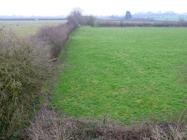
Image: © Nigel Mykura Taken: 20 Feb 2013
This is the line of the old now dismantled track of the S&D Railway, looking south into Dorset in the direction of Stalbridge whose church tower can just be seen on the far right. The photo was taken from the Landshire Lane Bridge.
Images are licensed for reuse under creativecommons.org/licenses/by-sa/2.0
Image Location


Leaflet Map data © OpenStreetMap
Latitude
50.970418
Longitude
-2.382909