Signpost at Marwood's Cross
Introduction
The photograph on this page of Signpost at Marwood's Cross by Derek Harper as part of the Geograph project.
The Geograph project started in 2005 with the aim of publishing, organising and preserving representative images for every square kilometre of Great Britain, Ireland and the Isle of Man.

There are currently over 7.5m images from over 14,400 individuals and you can help contribute to the project by visiting https://www.geograph.org.uk
Signpost at Marwood's Cross
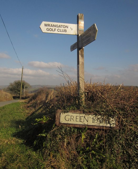
Image: © Derek Harper Taken: 18 Feb 2013
Image] was taken at the gate a metre or two ahead. The road ahead, carrying NCN2, is signposted for South Brent; behind the camera (also NCN2) is for Wrangaton, Moorhaven and Bittaford. But Green Lane, to the right, is ignored; odd, since it quickly leads to the A38 eastbound and the B3213 for Ivybridge. I should have inspected it to see if an arm has been removed. See also Image
Images are licensed for reuse under creativecommons.org/licenses/by-sa/2.0
Image Location
Latitude
50.407427
Longitude
-3.860645