Green Lane, Wrangaton
Introduction
The photograph on this page of Green Lane, Wrangaton by Derek Harper as part of the Geograph project.
The Geograph project started in 2005 with the aim of publishing, organising and preserving representative images for every square kilometre of Great Britain, Ireland and the Isle of Man.

There are currently over 7.5m images from over 14,400 individuals and you can help contribute to the project by visiting https://www.geograph.org.uk
Green Lane, Wrangaton
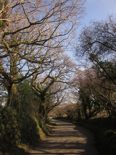
Image: © Derek Harper Taken: 18 Feb 2013
All capitalised, because this tree-line road is called "Green Lane". Here it approaches the B3213 (the former A38).
Images are licensed for reuse under creativecommons.org/licenses/by-sa/2.0
Image Location
Latitude
50.405229
Longitude
-3.857463