Bench mark on the church of St Lawrence, Atwick
Introduction
The photograph on this page of Bench mark on the church of St Lawrence, Atwick by John S Turner as part of the Geograph project.
The Geograph project started in 2005 with the aim of publishing, organising and preserving representative images for every square kilometre of Great Britain, Ireland and the Isle of Man.

There are currently over 7.5m images from over 14,400 individuals and you can help contribute to the project by visiting https://www.geograph.org.uk
Bench mark on the church of St Lawrence, Atwick
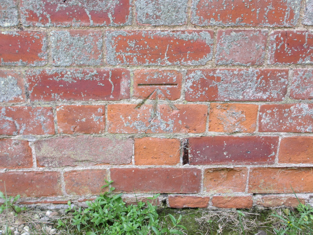
Image: © John S Turner Taken: 6 Sep 2012
This bench mark is at the east end of the church. For details of the mark see the Bench Mark Database http://www.bench-marks.org.uk/bm36994
Images are licensed for reuse under creativecommons.org/licenses/by-sa/2.0
Image Location
Latitude
53.939673
Longitude
-0.196723