Roundabout, Marley Head
Introduction
The photograph on this page of Roundabout, Marley Head by Derek Harper as part of the Geograph project.
The Geograph project started in 2005 with the aim of publishing, organising and preserving representative images for every square kilometre of Great Britain, Ireland and the Isle of Man.

There are currently over 7.5m images from over 14,400 individuals and you can help contribute to the project by visiting https://www.geograph.org.uk
Roundabout, Marley Head
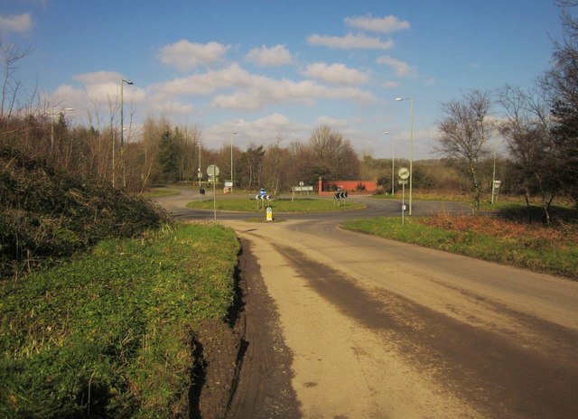
Image: © Derek Harper Taken: 18 Feb 2013
Another view of the roundabout shown in http://www.geograph.org.uk/search.php?i=39952023 , this time from the road to the south, linking to Webland Lane. The red brick entrance to Syon Abbey can be seen beyond.
Images are licensed for reuse under creativecommons.org/licenses/by-sa/2.0
Image Location
Latitude
50.431587
Longitude
-3.799918