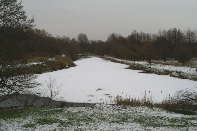
The Blackbrook Basin Terminus of the Sankey Canal
Introduction
The photograph on this page of The Blackbrook Basin Terminus of the Sankey Canal by David Long as part of the Geograph project.
The Geograph project started in 2005 with the aim of publishing, organising and preserving representative images for every square kilometre of Great Britain, Ireland and the Isle of Man.
There are currently over 7.5m images from over 14,400 individuals and you can help contribute to the project by visiting https://www.geograph.org.uk

Image: © David Long Taken: 8 Feb 2007
The Sankey Brook Navigation, commonly known as the Sankey Canal, was built between 1755 and 1757, making this the 250th Anniversary year of its opening. The northern reaches of the canal were formally abandoned in 1931. This site, now the start of the Sankey Valley Linear Park, following the line of the canal to Widnes, would have been a hive of activity in the 18th & 19th Centuries. Coal was loaded here into Mersey flats to go to Liverpool, North Wales, Ireland, and the Lancashire coast, while copper ore was imported from Parys Mountain on Anglesey to a copper works nearby.

