Derelict site, 7-16 Stour Street
Introduction
The photograph on this page of Derelict site, 7-16 Stour Street by John Baker as part of the Geograph project.
The Geograph project started in 2005 with the aim of publishing, organising and preserving representative images for every square kilometre of Great Britain, Ireland and the Isle of Man.

There are currently over 7.5m images from over 14,400 individuals and you can help contribute to the project by visiting https://www.geograph.org.uk
Derelict site, 7-16 Stour Street
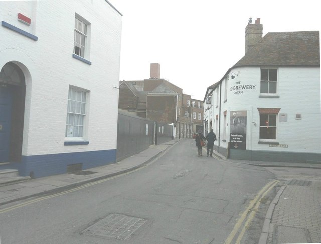
Image: © John Baker Taken: 17 Feb 2013
The site is just beyond the white-painted house on the left. Planning permission has been granted by Canterbury City Council under application numbers CA//11/00509 for the “demolition of existing former warehouse and erection of 12 almshouse flats, guest suite and community room with associated car parking” and CA//11/00904 for the “demolition of former warehouse”. On the boards along the front of the site was a website address for Pierce Hill Property Services, which is a professional construction consultancy providing various building surveying and technical services throughout London and the south east of England. The road to the right is Jewry Lane.
Images are licensed for reuse under creativecommons.org/licenses/by-sa/2.0
Image Location
Latitude
51.279116
Longitude
1.077942