Fields at Copse Farm
Introduction
The photograph on this page of Fields at Copse Farm by Nigel Mykura as part of the Geograph project.
The Geograph project started in 2005 with the aim of publishing, organising and preserving representative images for every square kilometre of Great Britain, Ireland and the Isle of Man.

There are currently over 7.5m images from over 14,400 individuals and you can help contribute to the project by visiting https://www.geograph.org.uk
Fields at Copse Farm
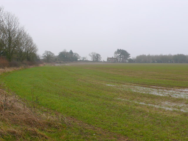
Image: © Nigel Mykura Taken: 20 Feb 2013
This recently sown field was waterlogged due to the heavy rain over the winter. This is the view towards Copse farm from near the trig point in the south east corner of the grid square.
Images are licensed for reuse under creativecommons.org/licenses/by-sa/2.0
Image Location
Latitude
50.960951
Longitude
-2.416293