Entrance to RAF Chivenor
Introduction
The photograph on this page of Entrance to RAF Chivenor by Tony Atkin as part of the Geograph project.
The Geograph project started in 2005 with the aim of publishing, organising and preserving representative images for every square kilometre of Great Britain, Ireland and the Isle of Man.

There are currently over 7.5m images from over 14,400 individuals and you can help contribute to the project by visiting https://www.geograph.org.uk
Entrance to RAF Chivenor
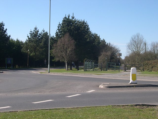
Image: © Tony Atkin Taken: 19 Mar 2005
Almost all of this square is taken up by the RAF station. The Coast Path runs along the northern edge.
Images are licensed for reuse under creativecommons.org/licenses/by-sa/2.0
Image Location


Leaflet Map data © OpenStreetMap
Latitude
51.092944
Longitude
-4.137667