Path in Milfordleigh
Introduction
The photograph on this page of Path in Milfordleigh by Derek Harper as part of the Geograph project.
The Geograph project started in 2005 with the aim of publishing, organising and preserving representative images for every square kilometre of Great Britain, Ireland and the Isle of Man.

There are currently over 7.5m images from over 14,400 individuals and you can help contribute to the project by visiting https://www.geograph.org.uk
Path in Milfordleigh
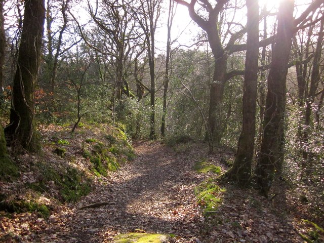
Image: © Derek Harper Taken: 17 Feb 2013
A path descends from Throwleigh Bridleway 1 through woodland above the River Teign. This wood is owned by the National Trust.
Images are licensed for reuse under creativecommons.org/licenses/by-sa/2.0
Image Location
Latitude
50.67492
Longitude
-3.86526