Ploughed field near Begbroke
Introduction
The photograph on this page of Ploughed field near Begbroke by Gillie Rhodes as part of the Geograph project.
The Geograph project started in 2005 with the aim of publishing, organising and preserving representative images for every square kilometre of Great Britain, Ireland and the Isle of Man.

There are currently over 7.5m images from over 14,400 individuals and you can help contribute to the project by visiting https://www.geograph.org.uk
Ploughed field near Begbroke
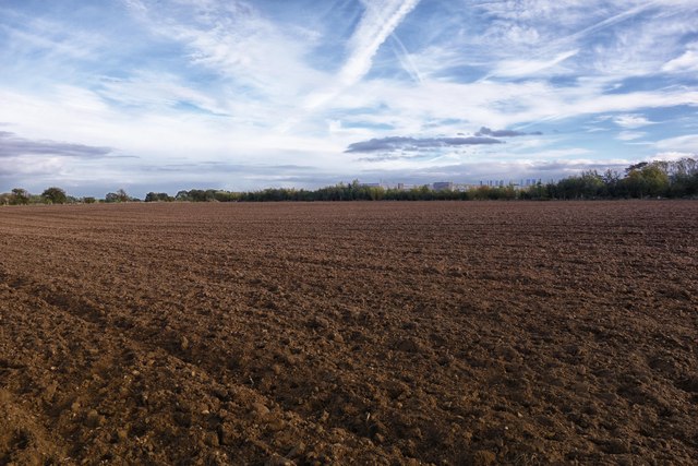
Image: © Gillie Rhodes Taken: 15 Oct 2012
Taken from a path that crosses farmland between Begbroke & Kidlington Oxfordshire. In the distance beyond the hedge line can be seen the buildings of the Science Park at Begbroke Hill
Images are licensed for reuse under creativecommons.org/licenses/by-sa/2.0
Image Location
Latitude
51.820151
Longitude
-1.30661