Carmeen Road at its junction with Ballyvally Road
Introduction
The photograph on this page of Carmeen Road at its junction with Ballyvally Road by Eric Jones as part of the Geograph project.
The Geograph project started in 2005 with the aim of publishing, organising and preserving representative images for every square kilometre of Great Britain, Ireland and the Isle of Man.

There are currently over 7.5m images from over 14,400 individuals and you can help contribute to the project by visiting https://www.geograph.org.uk
Carmeen Road at its junction with Ballyvally Road
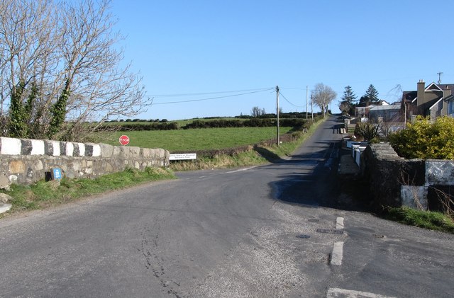
Image: © Eric Jones Taken: 19 Feb 2013
Carnmeen, also the name of the townland, comes from the Irish Ceathranhadh Mhin meaning "the level quarter". Ballyvally is derived from Baile an bhealaigh which means "townland of the gap/pass. Ballyvally Road links Mayobridge and Warrenpoint.
Images are licensed for reuse under creativecommons.org/licenses/by-sa/2.0
Image Location
Latitude
54.171521
Longitude
-6.217264