Manhole cover, Howden Clough Road
Introduction
The photograph on this page of Manhole cover, Howden Clough Road by Humphrey Bolton as part of the Geograph project.
The Geograph project started in 2005 with the aim of publishing, organising and preserving representative images for every square kilometre of Great Britain, Ireland and the Isle of Man.

There are currently over 7.5m images from over 14,400 individuals and you can help contribute to the project by visiting https://www.geograph.org.uk
Manhole cover, Howden Clough Road
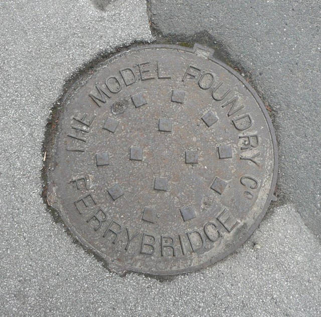
Image: © Humphrey Bolton Taken: 21 Feb 2013
The Model Foundry Co. at Ferrybridge was presumably set up with the very latest equipment and manufacturing methods. They evidently won a County Council contract as there are several of these covers in the footways, where one would expect the highway drains to be.
Images are licensed for reuse under creativecommons.org/licenses/by-sa/2.0
Image Location


Leaflet Map data © OpenStreetMap
Latitude
53.742223
Longitude
-1.628198