Churchyard cross, Chagford
Introduction
The photograph on this page of Churchyard cross, Chagford by Derek Harper as part of the Geograph project.
The Geograph project started in 2005 with the aim of publishing, organising and preserving representative images for every square kilometre of Great Britain, Ireland and the Isle of Man.

There are currently over 7.5m images from over 14,400 individuals and you can help contribute to the project by visiting https://www.geograph.org.uk
Churchyard cross, Chagford
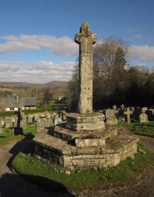
Image: © Derek Harper Taken: 17 Feb 2013
The cross http://list.english-heritage.org.uk/resultsingle.aspx?uid=1308621&searchtype=mapsearch shown in Image] from the opposite direction. Below the churchyard are houses on Orchard Meadow.
Images are licensed for reuse under creativecommons.org/licenses/by-sa/2.0
Image Location
Latitude
50.673011
Longitude
-3.838294