The western slopes of the Ballyvally gap
Introduction
The photograph on this page of The western slopes of the Ballyvally gap by Eric Jones as part of the Geograph project.
The Geograph project started in 2005 with the aim of publishing, organising and preserving representative images for every square kilometre of Great Britain, Ireland and the Isle of Man.

There are currently over 7.5m images from over 14,400 individuals and you can help contribute to the project by visiting https://www.geograph.org.uk
The western slopes of the Ballyvally gap
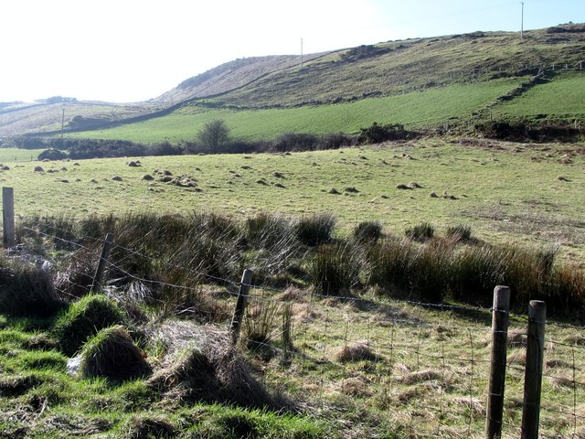
Image: © Eric Jones Taken: 19 Feb 2013
Ballyvally is derived from the Irish "Baile an bhealaigh" meaning "townland of the pass". This is an area of low grade agricultural land, suitable only for the grazing of sheep and store cattle.
Images are licensed for reuse under creativecommons.org/licenses/by-sa/2.0
Image Location
Latitude
54.159099
Longitude
-6.209684