East Acton: Fitzneal Street, W12
Introduction
The photograph on this page of East Acton: Fitzneal Street, W12 by Nigel Cox as part of the Geograph project.
The Geograph project started in 2005 with the aim of publishing, organising and preserving representative images for every square kilometre of Great Britain, Ireland and the Isle of Man.

There are currently over 7.5m images from over 14,400 individuals and you can help contribute to the project by visiting https://www.geograph.org.uk
East Acton: Fitzneal Street, W12
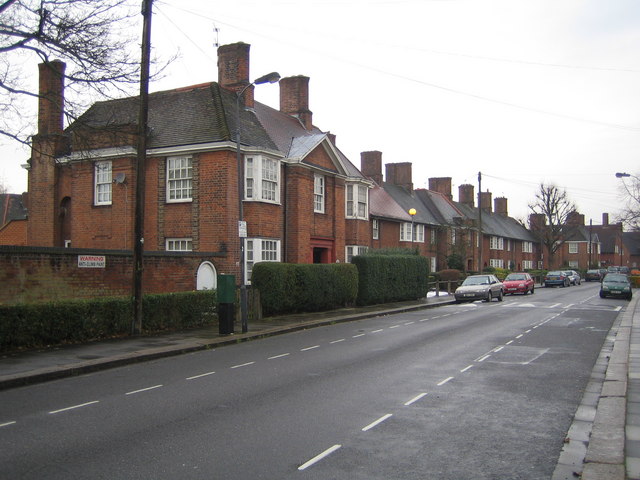
Image: © Nigel Cox Taken: 9 Feb 2007
Housing in the Old Oak Common Conservation Area. (Described here as being in East Acton, but also referred to as being in both the Shepherds Bush and White City areas)
Images are licensed for reuse under creativecommons.org/licenses/by-sa/2.0
Image Location
Latitude
51.516665
Longitude
-0.250345