Bone Mill Lock, River Slea
Introduction
The photograph on this page of Bone Mill Lock, River Slea by Tony Clayton as part of the Geograph project.
The Geograph project started in 2005 with the aim of publishing, organising and preserving representative images for every square kilometre of Great Britain, Ireland and the Isle of Man.

There are currently over 7.5m images from over 14,400 individuals and you can help contribute to the project by visiting https://www.geograph.org.uk
Bone Mill Lock, River Slea
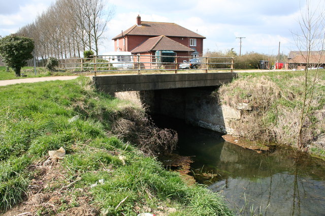
Image: © Tony Clayton Taken: 14 Apr 2006
The chamber of Bone Mill Lock on the River Slea, now crossed by a modern concrete bridge.
Images are licensed for reuse under creativecommons.org/licenses/by-sa/2.0
Image Location
Latitude
53.009883
Longitude
-0.385671