
Upper Park
Introduction
The photograph on this page of Upper Park by Rude Health as part of the Geograph project.
The Geograph project started in 2005 with the aim of publishing, organising and preserving representative images for every square kilometre of Great Britain, Ireland and the Isle of Man.

There are currently over 7.5m images from over 14,400 individuals and you can help contribute to the project by visiting https://www.geograph.org.uk
Upper Park
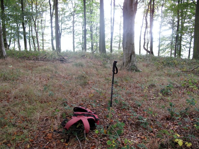
Image: © Rude Health Taken: 18 Oct 2009
Park close to double gates into wood from south, then take right overgrown path up hill. Strange house near summit. This most likely in open ground said my GPS although visited top of wood as well. Lots of deer about. This is the view from top in wood. Name: Upper Park Hill number: 2175 Height: 352m / 1155ft Area: 31A: Aberystwyth to Welshpool Class: Ma Grid ref: SJ 18977 05276 Summit feature: no feature: in wood Drop: 174m Col: 178m SJ167052
Images are licensed for reuse under creativecommons.org/licenses/by-sa/2.0
Image Location

Latitude
52.639086
Longitude
-3.200353