All down
Introduction
The photograph on this page of All down by Alan Murray-Rust as part of the Geograph project.
The Geograph project started in 2005 with the aim of publishing, organising and preserving representative images for every square kilometre of Great Britain, Ireland and the Isle of Man.

There are currently over 7.5m images from over 14,400 individuals and you can help contribute to the project by visiting https://www.geograph.org.uk
All down
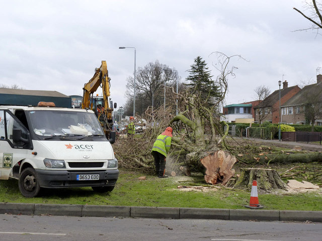
Image: © Alan Murray-Rust Taken: 21 Feb 2013
The tree has been safely felled in the desired direction, and work is progressing on removing branches.
Images are licensed for reuse under creativecommons.org/licenses/by-sa/2.0
Image Location
Latitude
52.907843
Longitude
-1.186184