Bridleway to Yellam
Introduction
The photograph on this page of Bridleway to Yellam by Derek Harper as part of the Geograph project.
The Geograph project started in 2005 with the aim of publishing, organising and preserving representative images for every square kilometre of Great Britain, Ireland and the Isle of Man.

There are currently over 7.5m images from over 14,400 individuals and you can help contribute to the project by visiting https://www.geograph.org.uk
Bridleway to Yellam
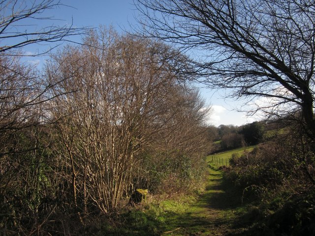
Image: © Derek Harper Taken: 17 Feb 2013
Chagford Bridleway 10 approaches the farm. Some of its barns are behind the trees on the left.
Images are licensed for reuse under creativecommons.org/licenses/by-sa/2.0
Image Location
Latitude
50.668943
Longitude
-3.822426