Site of Doonfoot POW Camp
Introduction
The photograph on this page of Site of Doonfoot POW Camp by Mary and Angus Hogg as part of the Geograph project.
The Geograph project started in 2005 with the aim of publishing, organising and preserving representative images for every square kilometre of Great Britain, Ireland and the Isle of Man.

There are currently over 7.5m images from over 14,400 individuals and you can help contribute to the project by visiting https://www.geograph.org.uk
Site of Doonfoot POW Camp
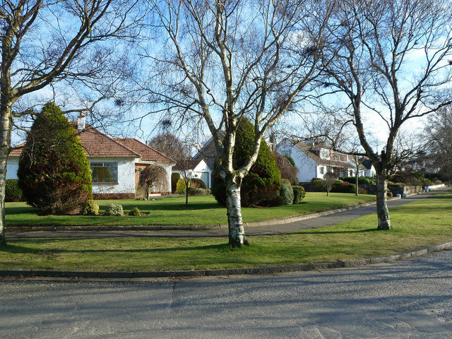
Image: © Mary and Angus Hogg Taken: 23 Feb 2013
During the Second World War, the area now occupied by private housing at Doonfoot was the location of two POW camps, numbers 14 & 112. December 1944 saw the biggest POW escape in the UK when 97 Italians tunnelled out. However, nearly all were recaptured quickly and easily, after having to light fires to keep themselves warm in the Scottish winter. One of the British guards commented at the end of the war that his prisoners were not SS, just ordinary soldiers wanting to get home. There's no trace of the POW camp now.
Images are licensed for reuse under creativecommons.org/licenses/by-sa/2.0
Image Location
Latitude
55.436182
Longitude
-4.656195