House and signalbox, Long Lane level crossing, Craven Arms
Introduction
The photograph on this page of House and signalbox, Long Lane level crossing, Craven Arms by Jaggery as part of the Geograph project.
The Geograph project started in 2005 with the aim of publishing, organising and preserving representative images for every square kilometre of Great Britain, Ireland and the Isle of Man.

There are currently over 7.5m images from over 14,400 individuals and you can help contribute to the project by visiting https://www.geograph.org.uk
House and signalbox, Long Lane level crossing, Craven Arms
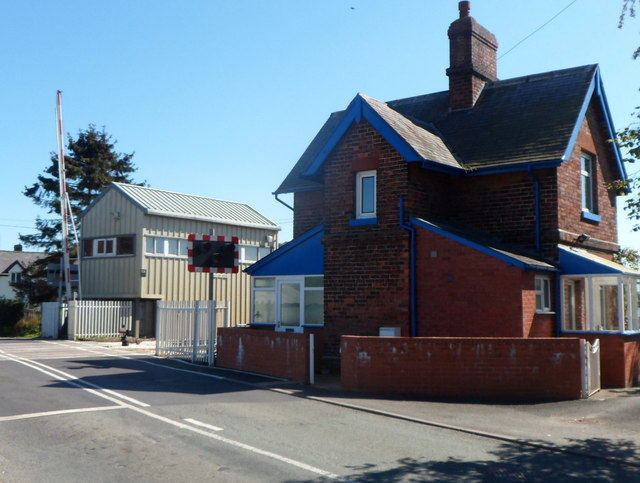
Image: © Jaggery Taken: 7 Sep 2012
Viewed from the east side of the level crossing, 550 metres north of Craven Arms railway station.
Images are licensed for reuse under creativecommons.org/licenses/by-sa/2.0
Image Location


Leaflet Map data © OpenStreetMap
Latitude
52.447021
Longitude
-2.839052