Entering Chipping Norton
Introduction
The photograph on this page of Entering Chipping Norton by Graham Horn as part of the Geograph project.
The Geograph project started in 2005 with the aim of publishing, organising and preserving representative images for every square kilometre of Great Britain, Ireland and the Isle of Man.

There are currently over 7.5m images from over 14,400 individuals and you can help contribute to the project by visiting https://www.geograph.org.uk
Entering Chipping Norton
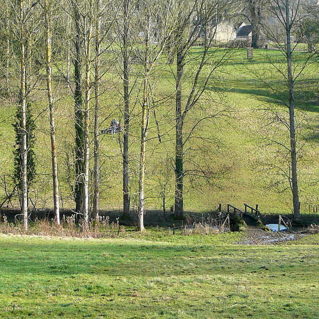
Image: © Graham Horn Taken: 17 Feb 2013
Shakespeare's Way uses this footpath through this attractive parkland to enter Chipping Norton. It is a steeper slope than it looks down to the footbridge, and very slippery. Both of us slipped over here, so entered the town with very muddy backsides.
Images are licensed for reuse under creativecommons.org/licenses/by-sa/2.0
Image Location
Latitude
51.942365
Longitude
-1.553492