Footpath from Burwardsley Road to Dark Lane #2
Introduction
The photograph on this page of Footpath from Burwardsley Road to Dark Lane #2 by John S Turner as part of the Geograph project.
The Geograph project started in 2005 with the aim of publishing, organising and preserving representative images for every square kilometre of Great Britain, Ireland and the Isle of Man.

There are currently over 7.5m images from over 14,400 individuals and you can help contribute to the project by visiting https://www.geograph.org.uk
Footpath from Burwardsley Road to Dark Lane #2
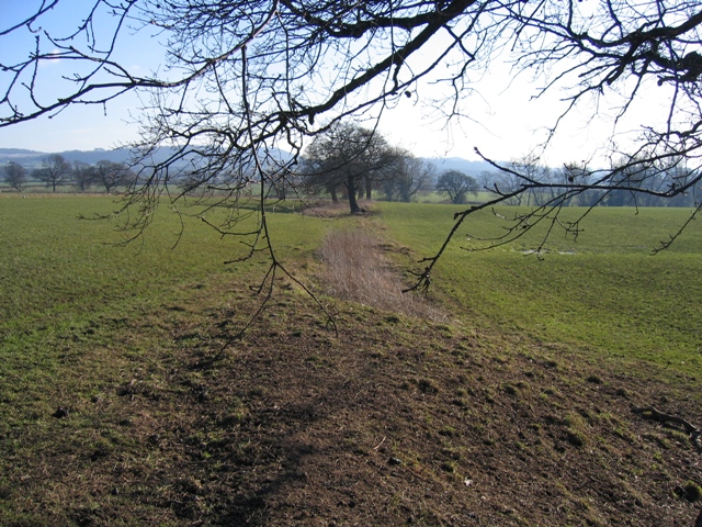
Image: © John S Turner Taken: 7 Feb 2007
This old hedge line indicates the new line of the footpath from Burwardsley Road, as it changes direction on its way towards Dark Lane. Next see Image
Images are licensed for reuse under creativecommons.org/licenses/by-sa/2.0
Image Location


Leaflet Map data © OpenStreetMap
Latitude
53.119532
Longitude
-2.760647