Cromwell Ford Way, South Stella, Blaydon
Introduction
The photograph on this page of Cromwell Ford Way, South Stella, Blaydon by Andrew Curtis as part of the Geograph project.
The Geograph project started in 2005 with the aim of publishing, organising and preserving representative images for every square kilometre of Great Britain, Ireland and the Isle of Man.

There are currently over 7.5m images from over 14,400 individuals and you can help contribute to the project by visiting https://www.geograph.org.uk
Cromwell Ford Way, South Stella, Blaydon
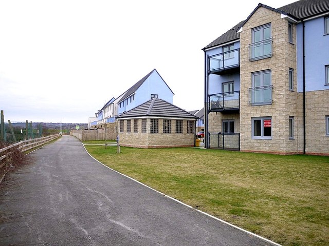
Image: © Andrew Curtis Taken: 22 Feb 2013
A sharp bend in the River Tyne at this location (left of the path) is known by the name 'Cromwell' Image In 1128, the name was 'Crumbwell'. 'Crumbe' is Old English for a bend (in a river), 'Crumb' means 'crooked', 'wella' means 'spring' and 'wel' means 'deep pool'. Thus 'spring in or by the river bend' or 'crooked winding stream'. At one time it was owned by the bishop of Durham and was an important location for fishing. The main catch would have been salmon, but eels, pike, minnow, burbot, trout and lamprey would also have been taken. http://www.twsitelines.info/SMR/1695 There was, however, a ford here at one time, and also a connection with Oliver Cromwell http://en.wikipedia.org/wiki/Oliver_cromwell The Protector's army camped on Ryton Haugh while he himself quartered at Stella House, before crossing the river at this point, on the march to Dunbar in 1650.
Images are licensed for reuse under creativecommons.org/licenses/by-sa/2.0
Image Location
Latitude
54.974631
Longitude
-1.728921