Kings Barn Farm
Introduction
The photograph on this page of Kings Barn Farm by Simon Carey as part of the Geograph project.
The Geograph project started in 2005 with the aim of publishing, organising and preserving representative images for every square kilometre of Great Britain, Ireland and the Isle of Man.

There are currently over 7.5m images from over 14,400 individuals and you can help contribute to the project by visiting https://www.geograph.org.uk
Kings Barn Farm
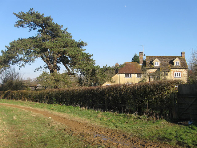
Image: © Simon Carey Taken: 20 Feb 2013
Known as Carters Farm on Yeakell & Gardner's 1778-83 map and first OS map of 1813. By 1876 the OS had it as Bates Farm and by 1897 by its current name. The northern end is the surviving part of an old 16th century timber framed building whilst the larger southern part was added in 1647 and later extended in 1890.
Images are licensed for reuse under creativecommons.org/licenses/by-sa/2.0
Image Location
Latitude
50.930437
Longitude
-0.349991