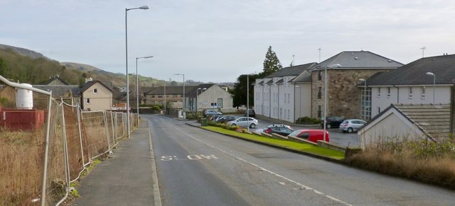
The former site of the Littlemill Distillery
Introduction
The photograph on this page of The former site of the Littlemill Distillery by Lairich Rig as part of the Geograph project.
The Geograph project started in 2005 with the aim of publishing, organising and preserving representative images for every square kilometre of Great Britain, Ireland and the Isle of Man.
There are currently over 7.5m images from over 14,400 individuals and you can help contribute to the project by visiting https://www.geograph.org.uk

Image: © Lairich Rig Taken: 8 Feb 2013
The main distillery buildings were located on the right-hand side (south side) of the road, where modern housing now stands, but the shell of the Exciseman's House could, when this picture was taken, still be seen to the left of the road. It is behind the large upright white mixer, and, in this view, is largely obscured by the fencing; the building is shown separately: Image and Image This was originally the site of the Little Mill, the mill of Auchentorlie, powered by Image; see that item for more details. The mill fell into disuse, and Littlemill Distillery then occupied the same site. It closed in the 1990s, but the name survives in Littlemill Lane, which is not far ahead, to the left of the road, and in Image, which is a little way back along the road.

