Levenbank
Introduction
The photograph on this page of Levenbank by Lairich Rig as part of the Geograph project.
The Geograph project started in 2005 with the aim of publishing, organising and preserving representative images for every square kilometre of Great Britain, Ireland and the Isle of Man.

There are currently over 7.5m images from over 14,400 individuals and you can help contribute to the project by visiting https://www.geograph.org.uk
Levenbank
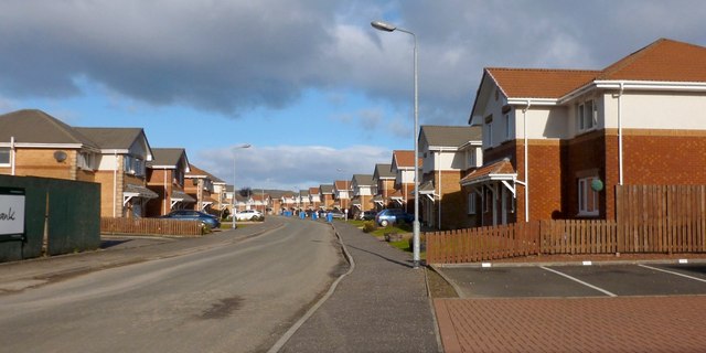
Image: © Lairich Rig Taken: 6 Feb 2013
Levenbank is a housing development, built in the last few years on what had previously been the site of Image Behind the photographer's position, the former site of Image is now occupied by part of the same development (for other views of the now-demolished structures that used to be here, see Image and Image). See also Image, a view from the other side of the river.
Images are licensed for reuse under creativecommons.org/licenses/by-sa/2.0
Image Location
Latitude
55.987885
Longitude
-4.572379