Drumlanrig Bridge, Hawick
Introduction
The photograph on this page of Drumlanrig Bridge, Hawick by G Laird as part of the Geograph project.
The Geograph project started in 2005 with the aim of publishing, organising and preserving representative images for every square kilometre of Great Britain, Ireland and the Isle of Man.

There are currently over 7.5m images from over 14,400 individuals and you can help contribute to the project by visiting https://www.geograph.org.uk
Drumlanrig Bridge, Hawick
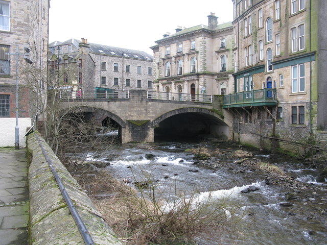
Image: © G Laird Taken: 20 Feb 2013
Drumlanrig Bridge was erected in 1776 and widened in 1900. It carries Tower Knowe (B6399) across the Slitrig Water.
Images are licensed for reuse under creativecommons.org/licenses/by-sa/2.0
Image Location
Latitude
55.421411
Longitude
-2.788787