Confluence of the River Esk and the Ewes Water in Langholm
Introduction
The photograph on this page of Confluence of the River Esk and the Ewes Water in Langholm by G Laird as part of the Geograph project.
The Geograph project started in 2005 with the aim of publishing, organising and preserving representative images for every square kilometre of Great Britain, Ireland and the Isle of Man.

There are currently over 7.5m images from over 14,400 individuals and you can help contribute to the project by visiting https://www.geograph.org.uk
Confluence of the River Esk and the Ewes Water in Langholm
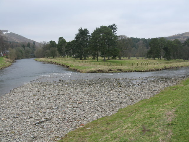
Image: © G Laird Taken: 20 Feb 2013
In the angle formed by the River Esk (left and the Ewes Water (right) are the fairly slight remains of Langholm Castle.
Images are licensed for reuse under creativecommons.org/licenses/by-sa/2.0
Image Location
Latitude
55.153056
Longitude
-3.001296