Site of Crumlin (High Level) station, 1990
Introduction
The photograph on this page of Site of Crumlin (High Level) station, 1990 by Ben Brooksbank as part of the Geograph project.
The Geograph project started in 2005 with the aim of publishing, organising and preserving representative images for every square kilometre of Great Britain, Ireland and the Isle of Man.

There are currently over 7.5m images from over 14,400 individuals and you can help contribute to the project by visiting https://www.geograph.org.uk
Site of Crumlin (High Level) station, 1990
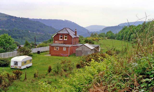
Image: © Ben Brooksbank Taken: 19 May 1990
View southward down the Ebbw Valley, towards Aberdare and Neath on the ex-GWR Pontypool Road - Aberdare - Neath line. The station and route closed on 15/6/64, but the celebrated Crumlin Viaduct, which is some way behind the camera, was not dismantled until 1967.
Images are licensed for reuse under creativecommons.org/licenses/by-sa/2.0
Image Location
Latitude
51.677342
Longitude
-3.144665