General view of disused school
Introduction
The photograph on this page of General view of disused school by chris whitehouse as part of the Geograph project.
The Geograph project started in 2005 with the aim of publishing, organising and preserving representative images for every square kilometre of Great Britain, Ireland and the Isle of Man.

There are currently over 7.5m images from over 14,400 individuals and you can help contribute to the project by visiting https://www.geograph.org.uk
General view of disused school
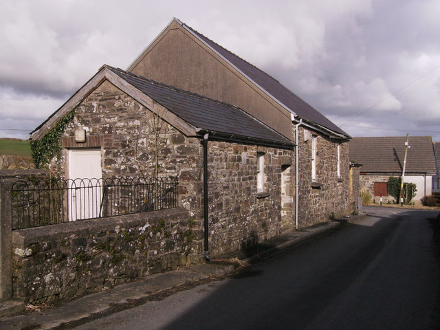
Image: © chris whitehouse Taken: 15 Feb 2013
Cross roads at the end of school buildings of the old Henllan Amgoed school.
Images are licensed for reuse under creativecommons.org/licenses/by-sa/2.0
Image Location
Latitude
51.848751
Longitude
-4.644052