Approaching M48 junction 2 from Bulwark, Chepstow
Introduction
The photograph on this page of Approaching M48 junction 2 from Bulwark, Chepstow by Jaggery as part of the Geograph project.
The Geograph project started in 2005 with the aim of publishing, organising and preserving representative images for every square kilometre of Great Britain, Ireland and the Isle of Man.

There are currently over 7.5m images from over 14,400 individuals and you can help contribute to the project by visiting https://www.geograph.org.uk
Approaching M48 junction 2 from Bulwark, Chepstow
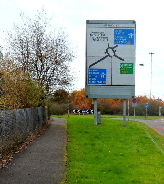
Image: © Jaggery Taken: 13 Nov 2012
The large Newhouse (roundabout) sign shows which slip road to take ahead for the M48 westbound or eastbound.
Images are licensed for reuse under creativecommons.org/licenses/by-sa/2.0
Image Location


Leaflet Map data © OpenStreetMap
Latitude
51.621654
Longitude
-2.672065