Unnamed access road to M48 motorway junction 2, Chepstow
Introduction
The photograph on this page of Unnamed access road to M48 motorway junction 2, Chepstow by Jaggery as part of the Geograph project.
The Geograph project started in 2005 with the aim of publishing, organising and preserving representative images for every square kilometre of Great Britain, Ireland and the Isle of Man.

There are currently over 7.5m images from over 14,400 individuals and you can help contribute to the project by visiting https://www.geograph.org.uk
Unnamed access road to M48 motorway junction 2, Chepstow
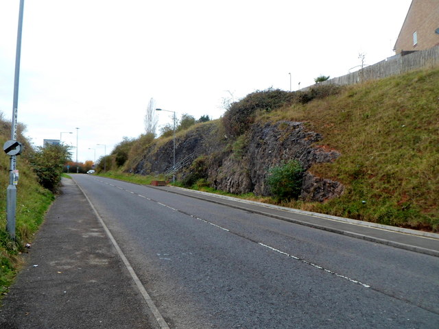
Image: © Jaggery Taken: 13 Nov 2012
The Thornwell Road roundabout is behind the camera. The M48 motorway is out of shot ahead. On the right, behind a lamp post in the middle distance, steps http://www.geograph.org.uk/photo/3341210 lead up to Burnt Barn Road.
Images are licensed for reuse under creativecommons.org/licenses/by-sa/2.0
Image Location
Latitude
51.621744
Longitude
-2.672066