The canal in Stratford-upon-Avon, Warwickshire
Introduction
The photograph on this page of The canal in Stratford-upon-Avon, Warwickshire by Roger D Kidd as part of the Geograph project.
The Geograph project started in 2005 with the aim of publishing, organising and preserving representative images for every square kilometre of Great Britain, Ireland and the Isle of Man.

There are currently over 7.5m images from over 14,400 individuals and you can help contribute to the project by visiting https://www.geograph.org.uk
The canal in Stratford-upon-Avon, Warwickshire
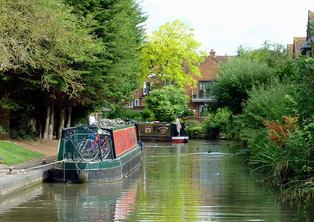
Image: © Roger D Kidd Taken: 26 Aug 2012
This shows the canal north-west of the very low Bridge No 69; tillermen need to adopt a bent position! The modern housing ahead is at the northern end of Bancroft Place. Round the bend ahead is Lock No 54 by Warwick Road Bridge. Image]
Images are licensed for reuse under creativecommons.org/licenses/by-sa/2.0
Image Location


Leaflet Map data © OpenStreetMap
Latitude
52.193854
Longitude
-1.702832