Padlocked cemetery
Introduction
The photograph on this page of Padlocked cemetery by Natasha Ceridwen de Chroustchoff as part of the Geograph project.
The Geograph project started in 2005 with the aim of publishing, organising and preserving representative images for every square kilometre of Great Britain, Ireland and the Isle of Man.

There are currently over 7.5m images from over 14,400 individuals and you can help contribute to the project by visiting https://www.geograph.org.uk
Padlocked cemetery
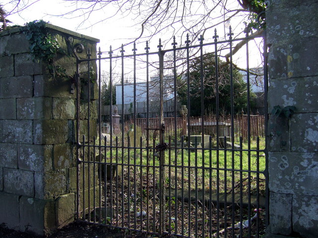
Image: © Natasha Ceridwen de Chroustchoff Taken: 27 Jan 2007
This little cemetery at the top of Barn Street is firmly locked and looks neglected, the graves overgrown and rubbish strewn around. A large supermarket looms behind.
Images are licensed for reuse under creativecommons.org/licenses/by-sa/2.0
Image Location
Latitude
51.798316
Longitude
-4.977907