Footpath to Ingram Road, Gillingham
Introduction
The photograph on this page of Footpath to Ingram Road, Gillingham by David Anstiss as part of the Geograph project.
The Geograph project started in 2005 with the aim of publishing, organising and preserving representative images for every square kilometre of Great Britain, Ireland and the Isle of Man.

There are currently over 7.5m images from over 14,400 individuals and you can help contribute to the project by visiting https://www.geograph.org.uk
Footpath to Ingram Road, Gillingham
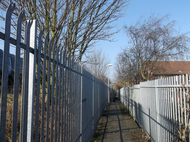
Image: © David Anstiss Taken: 19 Feb 2013
This path leads from Woodlands Road towards Ingram Road. It follows the railway line (on the left). On the right is part of the Vineries Housing estate.
Images are licensed for reuse under creativecommons.org/licenses/by-sa/2.0
Image Location
Latitude
51.385964
Longitude
0.562897