Broken lane leading to High Ireby
Introduction
The photograph on this page of Broken lane leading to High Ireby by Robert Matin as part of the Geograph project.
The Geograph project started in 2005 with the aim of publishing, organising and preserving representative images for every square kilometre of Great Britain, Ireland and the Isle of Man.

There are currently over 7.5m images from over 14,400 individuals and you can help contribute to the project by visiting https://www.geograph.org.uk
Broken lane leading to High Ireby
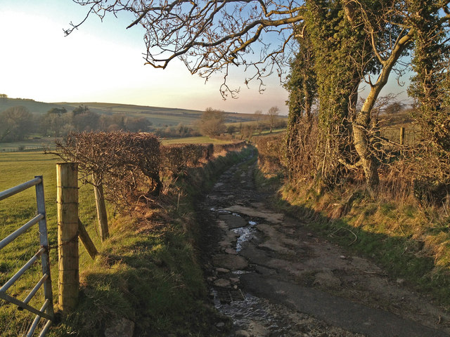
Image: © Robert Matin Taken: 20 Feb 2013
This lane is marked as unsuitable for vehicles at both ends. It is no longer maintained as a road. It is very interesting to see how rapidly nature reclaims a man made environment. You can see it was once a fully adopted carriageway as there are drains with grids all along the edges. It now has pot holes up to 6-7 inches deep and you would not be able to travel along it in a standard car.
Images are licensed for reuse under creativecommons.org/licenses/by-sa/2.0
Image Location
Latitude
54.731583
Longitude
-3.207978