M2 slip road, Templepatrick (2)
Introduction
The photograph on this page of M2 slip road, Templepatrick (2) by Albert Bridge as part of the Geograph project.
The Geograph project started in 2005 with the aim of publishing, organising and preserving representative images for every square kilometre of Great Britain, Ireland and the Isle of Man.

There are currently over 7.5m images from over 14,400 individuals and you can help contribute to the project by visiting https://www.geograph.org.uk
M2 slip road, Templepatrick (2)
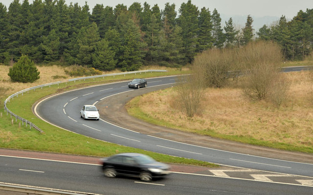
Image: © Albert Bridge Taken: 20 Feb 2013
The view, from the flyover on the Ballyclare Road Image, showing the tightly-curved Belfast-bound slip road about to join the southbound lanes of the M2. This is the route used by most traffic from Belfast International Airport (Aldergrove) heading towards Belfast.
Images are licensed for reuse under creativecommons.org/licenses/by-sa/2.0
Image Location
Latitude
54.710135
Longitude
-6.069261