The Ballyclare Road, Templepatrick (2013-1)
Introduction
The photograph on this page of The Ballyclare Road, Templepatrick (2013-1) by Albert Bridge as part of the Geograph project.
The Geograph project started in 2005 with the aim of publishing, organising and preserving representative images for every square kilometre of Great Britain, Ireland and the Isle of Man.

There are currently over 7.5m images from over 14,400 individuals and you can help contribute to the project by visiting https://www.geograph.org.uk
The Ballyclare Road, Templepatrick (2013-1)
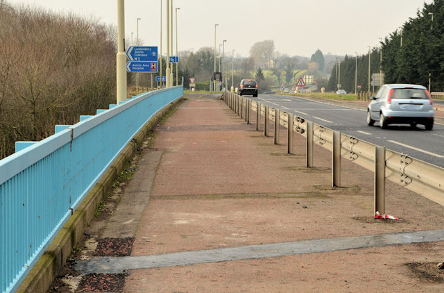
Image: © Albert Bridge Taken: 20 Feb 2013
The Ballyclare – Templepatrick road, crossing the M2 near Templepatrick. The dark car (middle top) is about to turn off the road along the northbound on-slip Image
Images are licensed for reuse under creativecommons.org/licenses/by-sa/2.0
Image Location
Latitude
54.709678
Longitude
-6.068817