Field above St Mary's Monastery
Introduction
The photograph on this page of Field above St Mary's Monastery by Rob Burke as part of the Geograph project.
The Geograph project started in 2005 with the aim of publishing, organising and preserving representative images for every square kilometre of Great Britain, Ireland and the Isle of Man.

There are currently over 7.5m images from over 14,400 individuals and you can help contribute to the project by visiting https://www.geograph.org.uk
Field above St Mary's Monastery
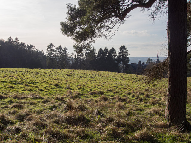
Image: © Rob Burke Taken: 17 Feb 2013
This field belongs to the monastery, which can be seen on the right. Although this is in the designated green belt and an area of great landscape value (AGLV), nevertheless it has been granted planning permission for housing. This is as an "enabling development" allowed to protect a heritage asset.
Images are licensed for reuse under creativecommons.org/licenses/by-sa/2.0
Image Location
Latitude
56.395137
Longitude
-3.406925