Carrick Road descending towards the B7 (Bridge Road)
Introduction
The photograph on this page of Carrick Road descending towards the B7 (Bridge Road) by Eric Jones as part of the Geograph project.
The Geograph project started in 2005 with the aim of publishing, organising and preserving representative images for every square kilometre of Great Britain, Ireland and the Isle of Man.

There are currently over 7.5m images from over 14,400 individuals and you can help contribute to the project by visiting https://www.geograph.org.uk
Carrick Road descending towards the B7 (Bridge Road)
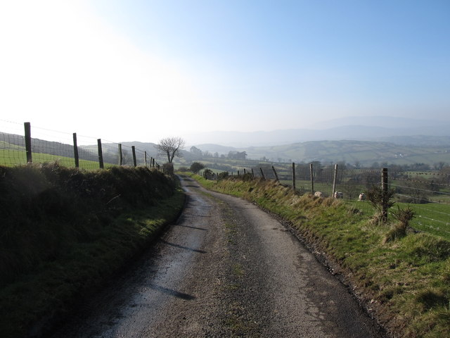
Image: © Eric Jones Taken: 19 Feb 2013
Carrick Road crosses the Craig na Mona moorland.
Images are licensed for reuse under creativecommons.org/licenses/by-sa/2.0
Image Location
Latitude
54.147077
Longitude
-6.247548