Llanbedr below Sugar Loaf
Introduction
The photograph on this page of Llanbedr below Sugar Loaf by Ian Rushin as part of the Geograph project.
The Geograph project started in 2005 with the aim of publishing, organising and preserving representative images for every square kilometre of Great Britain, Ireland and the Isle of Man.

There are currently over 7.5m images from over 14,400 individuals and you can help contribute to the project by visiting https://www.geograph.org.uk
Llanbedr below Sugar Loaf
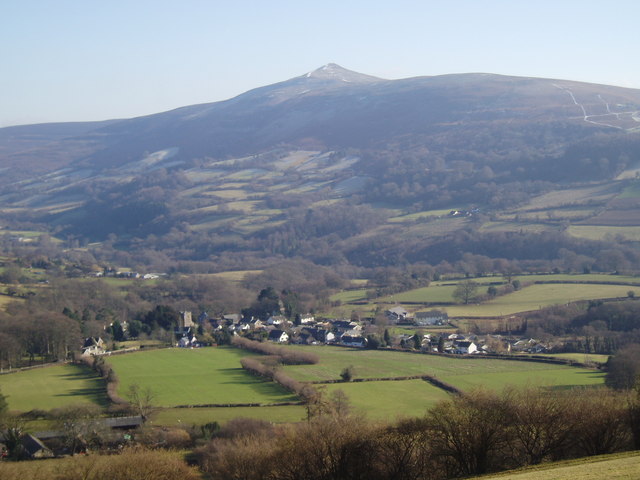
Image: © Ian Rushin Taken: 29 Jan 2006
View of the village of Llanbedr and the Sugar Loaf taken from Perth-y-Pia
Images are licensed for reuse under creativecommons.org/licenses/by-sa/2.0
Image Location
Latitude
51.876231
Longitude
-3.107292