Bowerswell Road
Introduction
The photograph on this page of Bowerswell Road by Rob Burke as part of the Geograph project.
The Geograph project started in 2005 with the aim of publishing, organising and preserving representative images for every square kilometre of Great Britain, Ireland and the Isle of Man.

There are currently over 7.5m images from over 14,400 individuals and you can help contribute to the project by visiting https://www.geograph.org.uk
Bowerswell Road
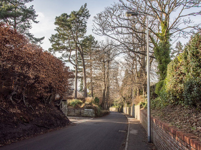
Image: © Rob Burke Taken: 17 Feb 2013
Looking downhill with the entrance to Dupplin Terrace on the left. This is an area of substantial houses and large gardens. However, the access roads to the area are steep and narrow.
Images are licensed for reuse under creativecommons.org/licenses/by-sa/2.0
Image Location
Latitude
56.396822
Longitude
-3.416805