Whetley Bridge and disused rail line
Introduction
The photograph on this page of Whetley Bridge and disused rail line by Maurice D Budden as part of the Geograph project.
The Geograph project started in 2005 with the aim of publishing, organising and preserving representative images for every square kilometre of Great Britain, Ireland and the Isle of Man.

There are currently over 7.5m images from over 14,400 individuals and you can help contribute to the project by visiting https://www.geograph.org.uk
Whetley Bridge and disused rail line
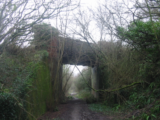
Image: © Maurice D Budden Taken: 1 Feb 2007
The bridge crosses the Maiden Newton to Bridport branch line, which closed in 1975.
Images are licensed for reuse under creativecommons.org/licenses/by-sa/2.0
Image Location


Leaflet Map data © OpenStreetMap
Latitude
50.762564
Longitude
-2.670028